

A HARBOUR BEFORE THE SKYLINE

Victoria Harbour is often described as one of the world’s great skylines, though the harbour itself existed long before the towers that now define it. Positioned between Hong Kong Island and Kowloon, its deep natural waters made it one of the most strategically valuable ports in East Asia during the nineteenth century. The harbour became central to Britain’s colonial ambitions following the First Opium War, particularly after the Treaty of Nanking in 1842 ceded Hong Kong Island to British rule.
What followed was not a masterplanned city in the European sense, but a commercial port shaped almost entirely by trade, scarcity and geography. Unlike cities able to expand outward across flat land, Hong Kong developed within severe physical constraints. Mountain terrain limited buildable space, while increasing migration and commercial activity intensified pressure along the waterfront. Density was not an architectural statement. It was an economic necessity.
TRADE, SHIPPING AND COLONIAL EXPANSION

Throughout the late nineteenth and early twentieth centuries, Victoria Harbour operated as one of Asia’s busiest maritime corridors. Ships carrying tea, silk, porcelain and manufactured goods connected China to Britain, Southeast Asia and the wider global economy. Warehouses, dockyards and trading houses accumulated tightly along the shoreline, gradually establishing the financial and mercantile identity that would later define Hong Kong internationally.
The city’s relationship with trade shaped its urban development from the beginning. Land reclamation expanded the waterfront continuously, while commercial infrastructure rapidly overtook the shoreline. Function came first. Buildings were constructed quickly, land remained scarce and density intensified year after year.
THE RISE OF THE MODERN SKYLINE

The modern skyline emerged much later. Following the Second World War, Hong Kong industrialised rapidly, first through manufacturing and textiles, then through finance, banking and global commerce. By the 1970s and 1980s, commercial towers surrounding Victoria Harbour had become visual markers of economic acceleration. Buildings such as the HSBC Main Building by Norman Foster and I. M. Pei’s Bank of China Tower represented not only architectural ambition, but also Hong Kong’s growing role as an international financial centre.
Unlike skylines built across broad urban grids, Hong Kong’s towers rise abruptly between mountain and water with very little transitional space. This compressed relationship between topography, infrastructure and architecture creates the harbour’s distinct visual intensity. Ferries, cargo vessels and smaller boats continue moving constantly across the water below, reinforcing the sense that the city remains in perpetual motion.
LIGHT, CINEMA AND ATMOSPHERE

After dark, the harbour changes character again. Reflections from office towers, hotels and illuminated signage dissolve across the water, while humidity and coastal haze soften the skyline into something less architectural and more atmospheric. This visual quality became deeply associated with Hong Kong cinema during the late twentieth century, particularly in the films of Wong Kar-wai, where neon light, rain, reflection and urban compression were used to evoke isolation, movement and emotional tension within the city.
Part of Victoria Harbour’s identity also comes from its layering. Colonial-era buildings, elevated highways, luxury hotels, residential towers and financial headquarters exist side by side, often within the same visual frame. Hong Kong developed through continuous adaptation rather than stylistic uniformity, and the skyline reflects that process. British colonial influence, Cantonese culture, international commerce and rapid urbanisation all remain visible simultaneously within the city’s built fabric.
FRAMING VICTORIA HARBOUR AT MAN WAH

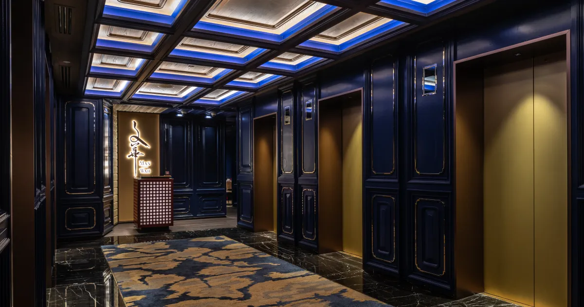
At Man Wah inside Mandarin Oriental Hong Kong, the harbour becomes inseparable from the dining experience itself. Positioned above Central, the restaurant frames Victoria Harbour through expansive windows that shift dramatically between daylight, dusk and evening. Rather than competing with the view, the interiors respond quietly to it through lacquered surfaces, layered lighting and carefully controlled framing devices that echo the density and rhythm of the skyline beyond.
The relationship feels distinctly Hong Kong. Traditional Cantonese dining unfolds against one of the world’s most recognisable financial skylines, reinforcing the city’s longstanding coexistence between heritage and international modernity. By evening, reflections move continuously across the water beneath illuminated towers while ferries cross between Kowloon and the island below. At Man Wah, the atmosphere of Victoria Harbour becomes not simply a backdrop, but part of the spatial experience of the restaurant itself.
SOURCES
- Hong Kong Tourism Board Victoria Harbour
- Hong Kong Tourism Board Star Ferry Pier
- Britannica Treaty of Nanjing
- Britannica I. M. Pei
- Wikipedia First Opium War
- Wikipedia Victoria Harbour
- Wikipedia HSBC Main Building
- Wikipedia Bank of China Tower (Hong Kong)
- Mandarin Oriental Man Wah, Cantonese cuisine in Hong Kong